Winslow Way Storefront History
  • Home
  • Photos
    • Photos - 1910 - 1930s
    • Photos - 1940s & 1950s
    • Photos - 1960s
    • Photos - 1970s
    • Photos - 1980s
    • Photos - 1990s & 2000s
    • Winslow Way Today>
      • Winslow Way E. (south side)
      • Winslow Way E. (north side)
      • Winslow Mall
      • Winslow Green, Lundgren Station, and Winslow Way W.
Picture
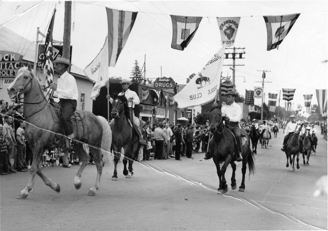
Winslow Way, c.1957. Courtesy of Bainbridge Island Historical Museum.
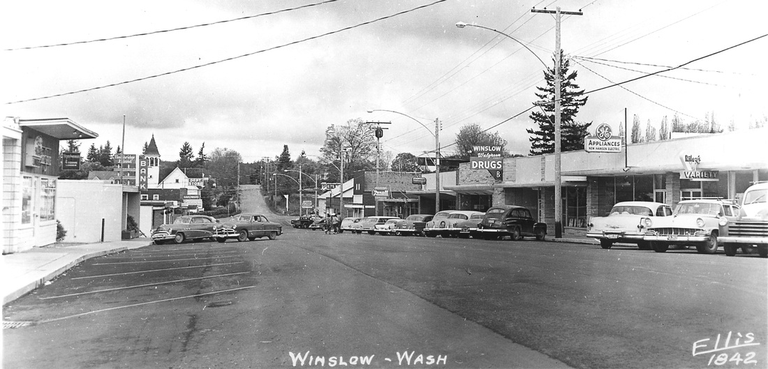
WHERE WAS THE LEMON TREE  RESTAURANT?

How many times, while wandering Winslow Way, have you asked yourself or your friends, "What ever happened to Fortner Books?" or The Martinique? or Roberts Jewelers? or whatever used to be your favorite store or restaurant? Or tried to remember what was in a particular storefront before its current tenant opened its doors?

Help us develop a family tree of the many storefronts that have graced Winslow Way throughout its history. 

With support from the Bainbridge Island Downtown Association, the Bainbridge Island Historical Society
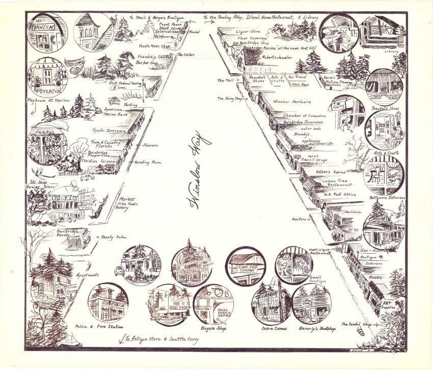
, and the Bainbridge Island Chamber of Commerce, we're hoping to create an archive of the restaurants, stores, and businesses that set up shop on Winslow Way from around 1910, when some of the earliest buildings were constructed, to the present. 

We're starting with the main drag:  the north and south sides of Winslow Way E. from its intersection with Madison Ave. to Highway 305. 


To contribute,  first take a look at the archive tools in the right hand column, which include partially completed inventories and maps of the existing buildings.

Then just email us, using the form to the right, with any details you can recall - business or store names, dates, addresses, owners and staff, anecdotes and memories - to help us fill in the blanks. Let us know, also, if you can supply any photos.


Thanks for your assistance!

Kathleen Thorne & Dana Berg

Volunteers, Bainbridge Island Downtown Association

Updated 4.4.13
WINSLOW WAY ARCHIVE TOOLS

Winslow Way E. Inventory - North Side

Winslow Way E. Inventory - South Side


Map - Winslow Way E. - Central District


Map - Winslow Way E. - From Hwy 305 to  Ferry Terminal


Map - Winslow Way W. 

Picture

Contribute your memories!

Submit
Create a free website with Weebly